
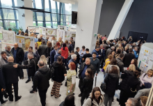
The final conference of DANUrB+ Project was organised on December 11-13, 2022, in Budapest, Hungary. During the second conference day, the project partners presented the most significant results of the project to international and regional guests, including the important guests from INTERREG Secretariat, and organised several roundtables to highlight the most important topics for urban heritage along the Danube. The third conference day was dedicated for the presentations of all project results and discussions on how the current fruitful cooperation between project partners can be prolonged and upgraded. The conference contained the study visit to the nearby historic town of Rackeve during the first conference day, where local project partners showed their pilot project.
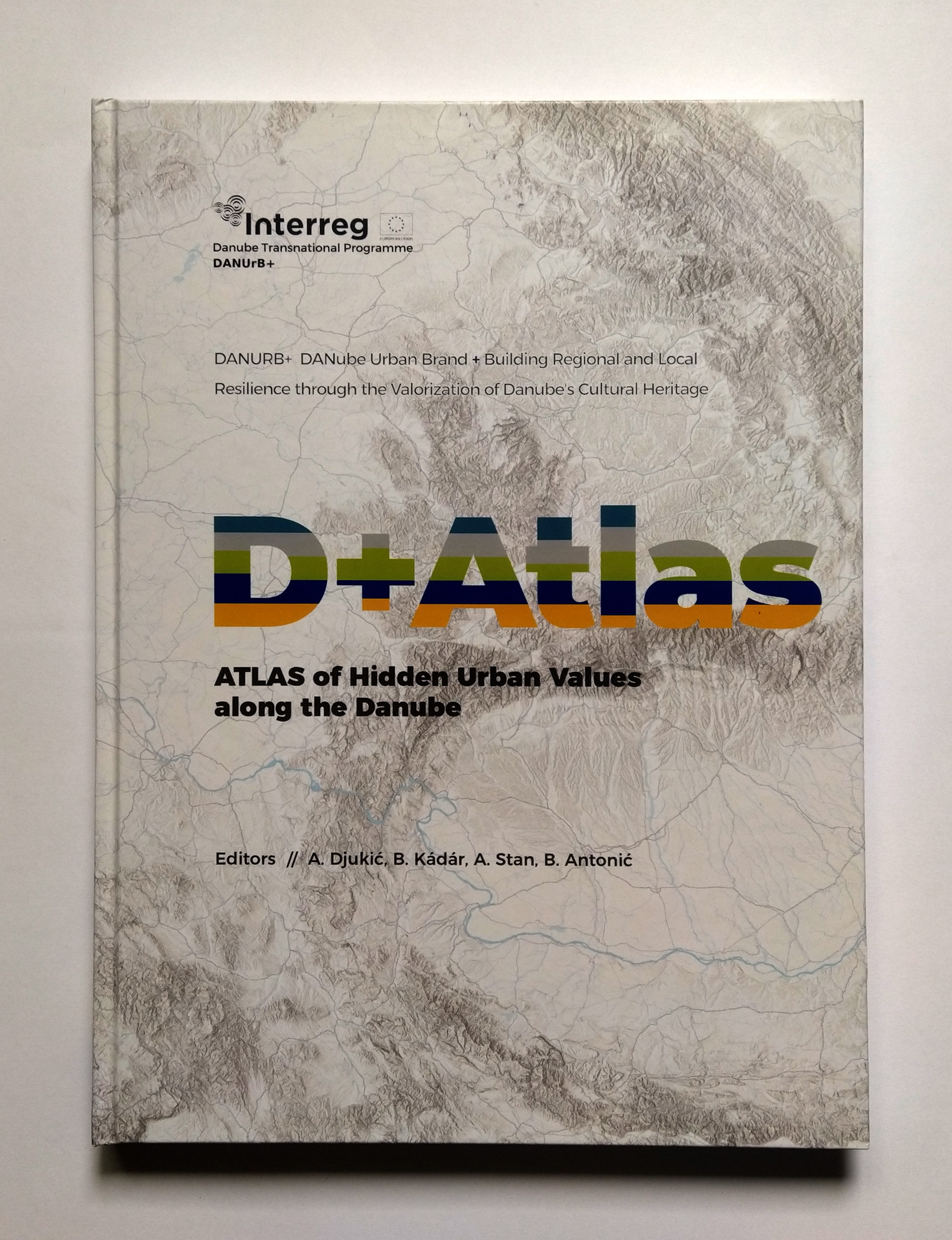
The cover page of the D+ ATLAS: ATLAS OF HIDDEN URBAN VALUES ALONG THE DANUBE, edited by the team of the Faculty of Architecture in Belgrade
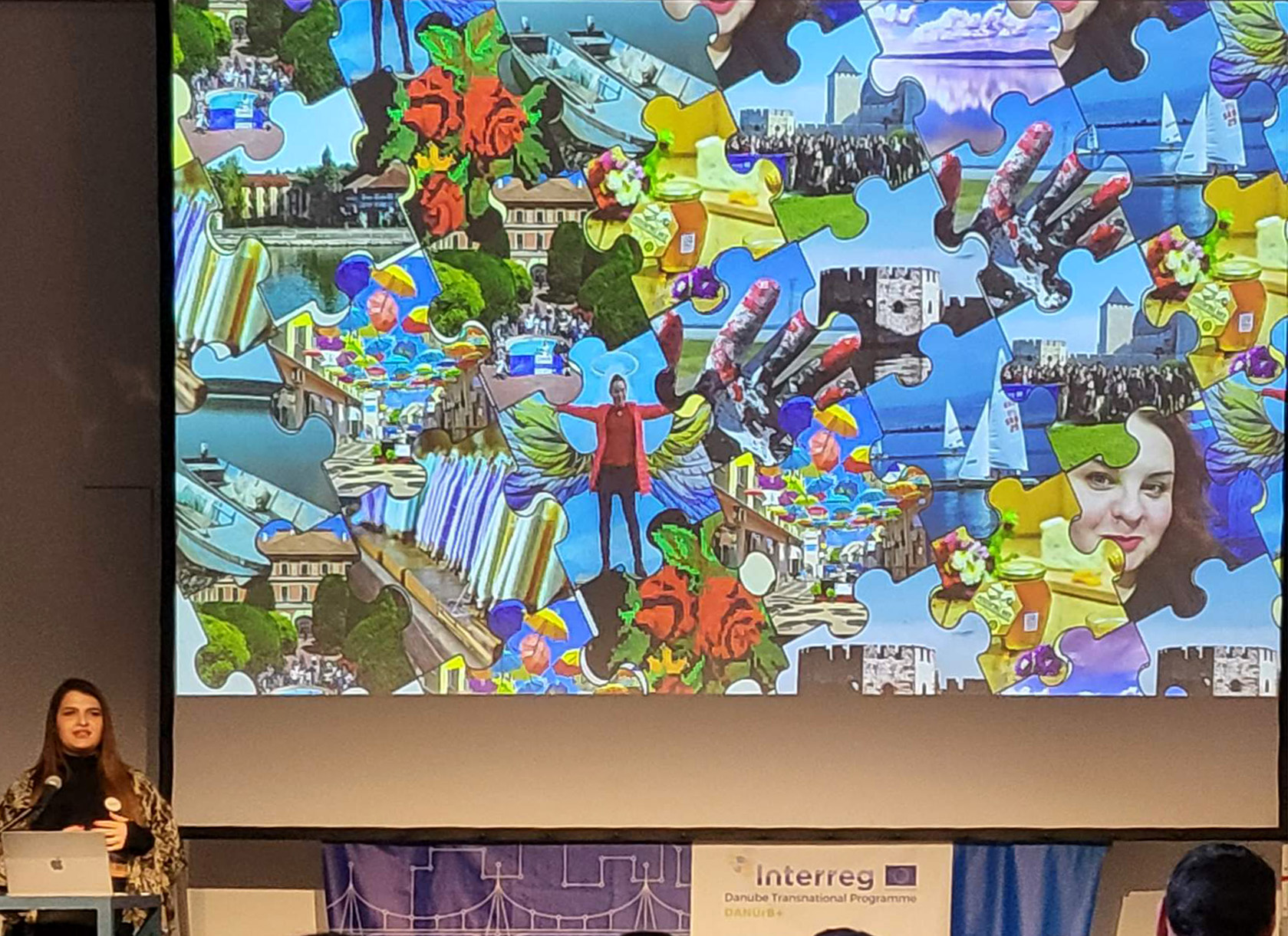
Asst. Jelena Marić presents the project highlights of the Faculty of Architecture in Belgrade
Asst. Branislav Antonić presents the atlas in the front of international and regional guests of the final conference
Eleven members of the team of the Faculty of Architecture in Belgrade participated at the conference: Prof. Aleksandra Djukić, Prof. Aleksandra Stupar, Assoc.Prof. Biserka Mitrović, Asst.Prof. Danijela Milovanović Rodić, Asst.Prof. Ivica Nikolić, Svetlana Tolić, head of finance office, Asst. Jelena Marić, Asst. Aleksandar Grujičić, Asst. Branislav Antonić, Milorad Obradović, doctorand, and Nikola Mitrović, doctorand. Furthermore, five participants from Golubac, Smederevo and Sombor represented their cities and towns as the associated strategic partners of the faculty.
Asst. Jelena Marić and asst. Branislav Antonić presented all project results done by the team of the Faculty of Architecture in Belgrade
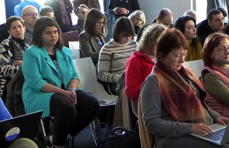
International and regional guests of the final conference
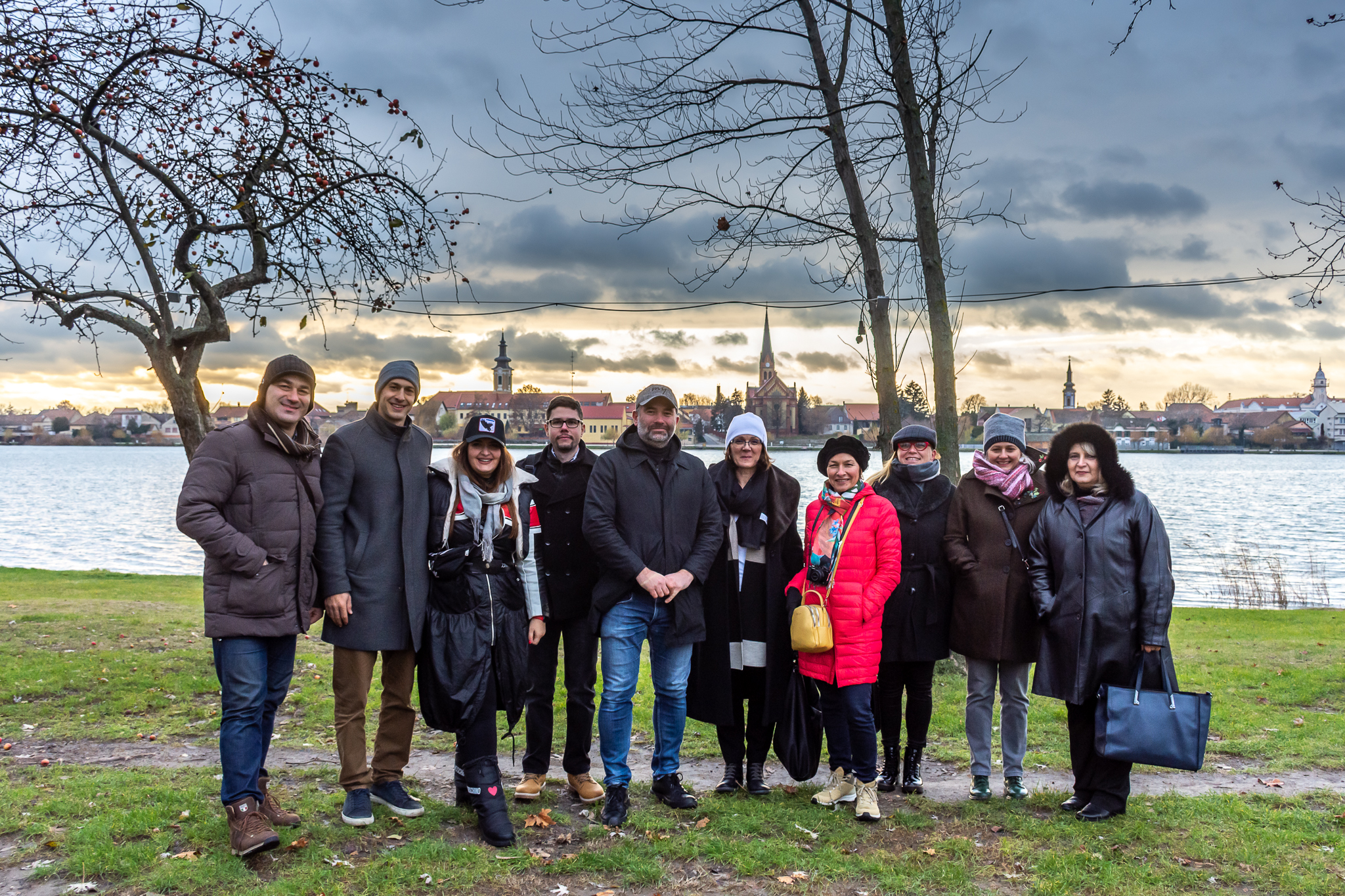
The part of the team of Faculty of Architecture in Belgrade during the study visit of the nearby historic town of Rackeve, with pilot location
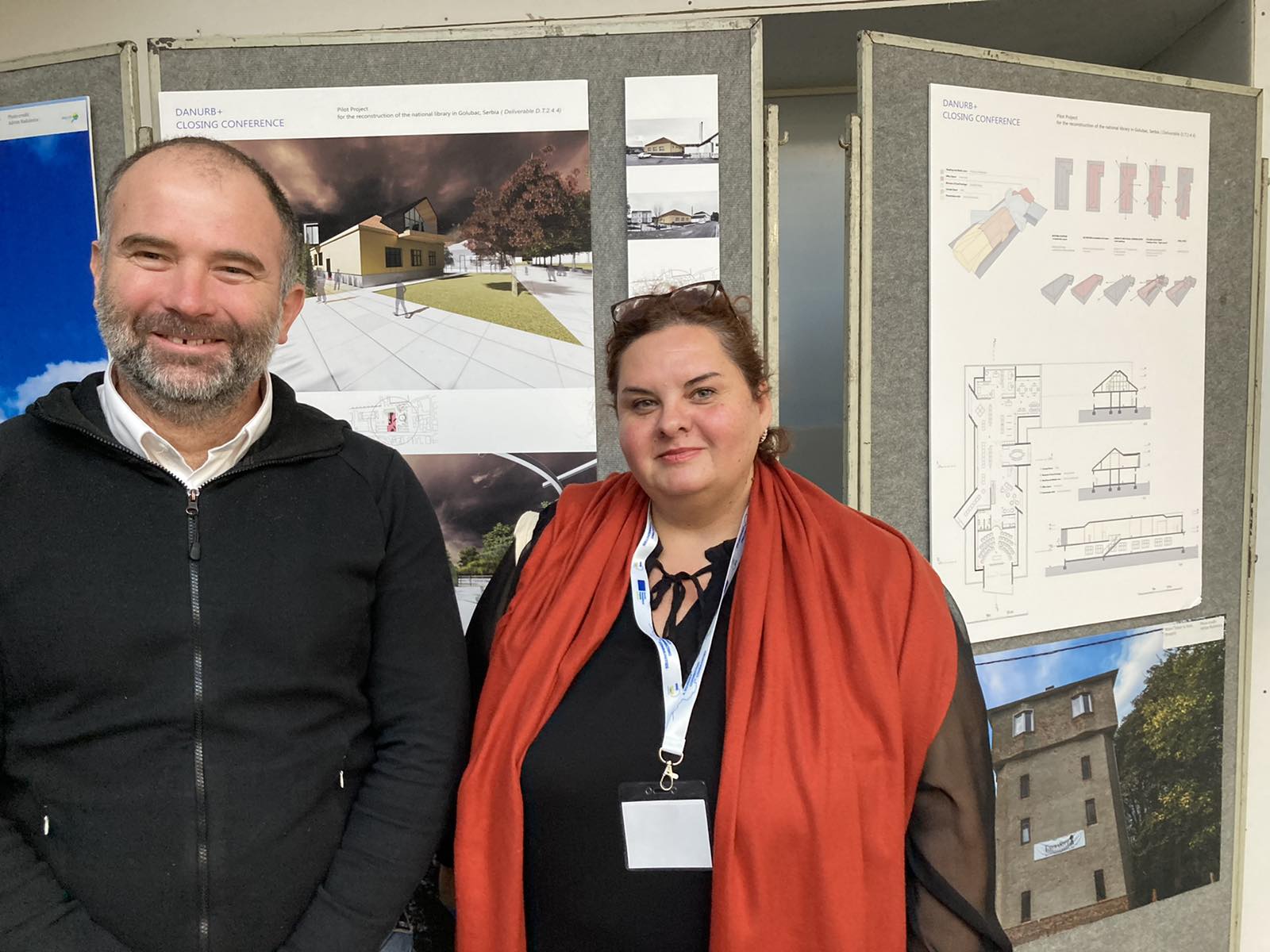
Asst.Prof. Ivica Nikolić and the representative of Golubac in the front of the technical project of the attic extension of Golubac municipal library, developed by I. Nikolić for this associated strategic partner
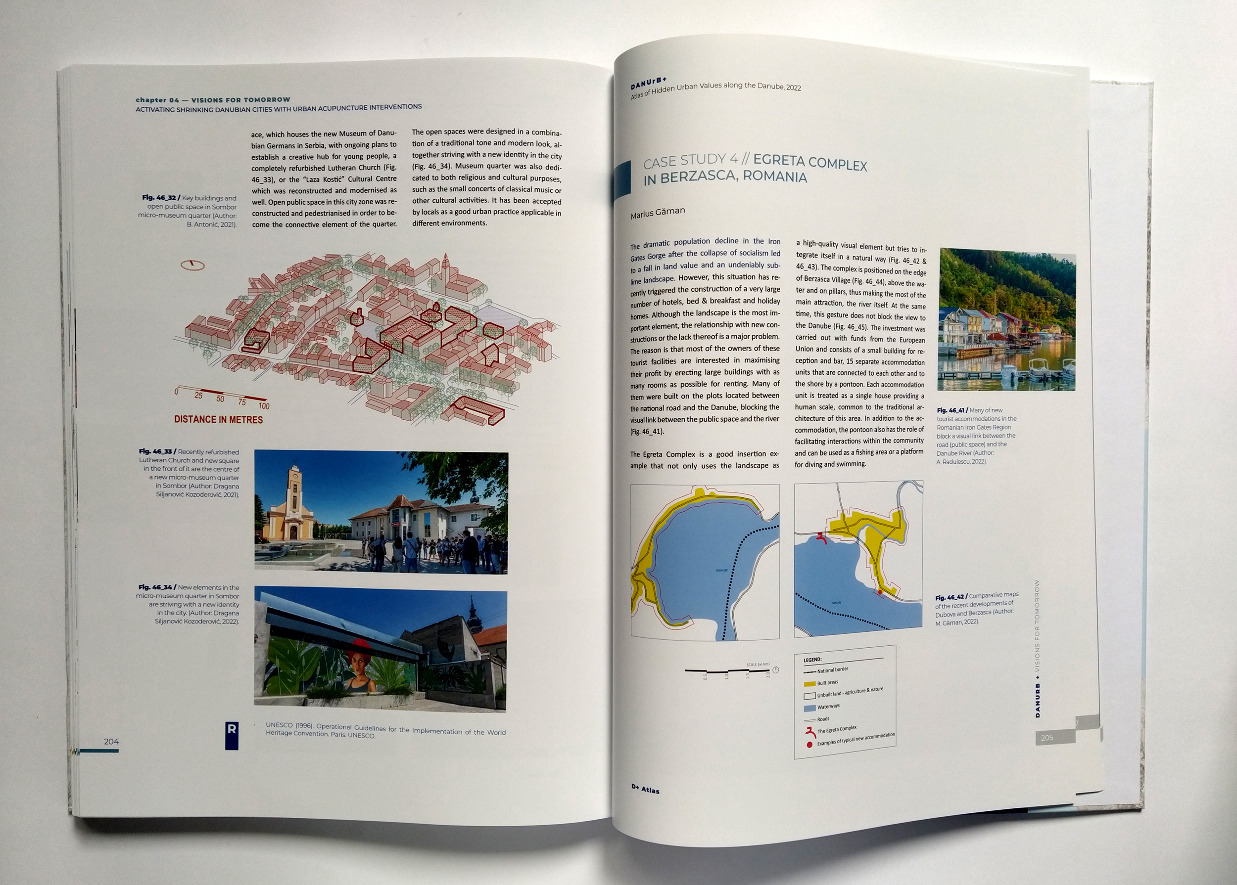
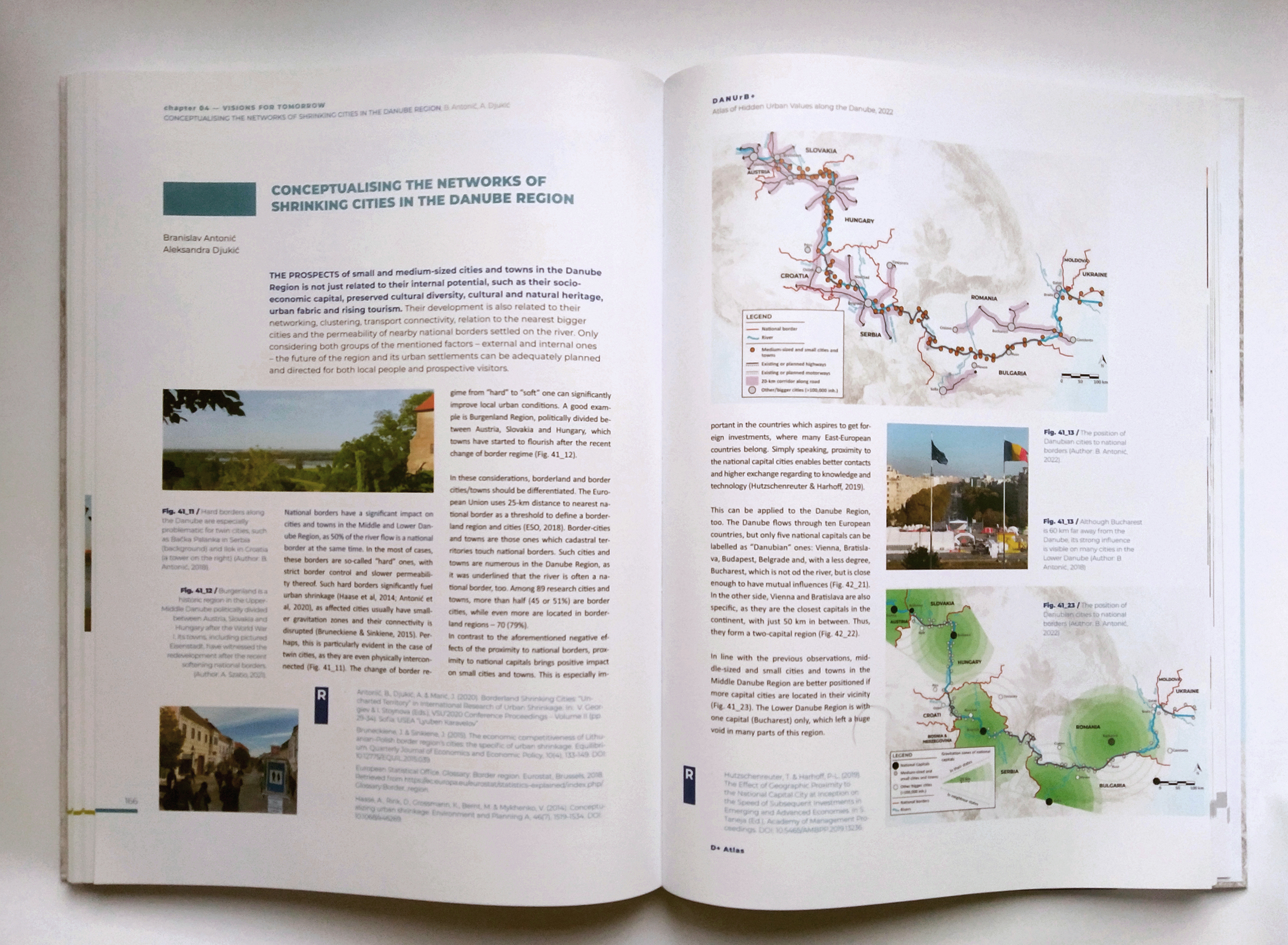
One of the main DANUrB+ highlights at the second conference day was the official presentation of D+ ATLAS: ATLAS OF HIDDEN URBAN VALUES ALONG THE DANUBE. The Faculty of Architecture in Belgrade is a leading partner in the creation of the atlas in two versions: hardcopy and digital. This is an urban atlas aiming to discover hidden urban values along the Danube from a new perspective. First, the format of an atlas is innovative in such a trans-Danubian context, where many areas are still not well-mapped or seen from national level. Second, the agenda of the atlas is to embrace and promote rich albeit usually hidden urban values through maps, but also including short texts, photos, schemes, tables and diagrams about the specificities of Danubian cities and towns and their unique urban heritage. This variety of available presenting modes means that the D+ Atlas targets a wide range of prospective ‘consumers’ across the Danube Region and beyond.
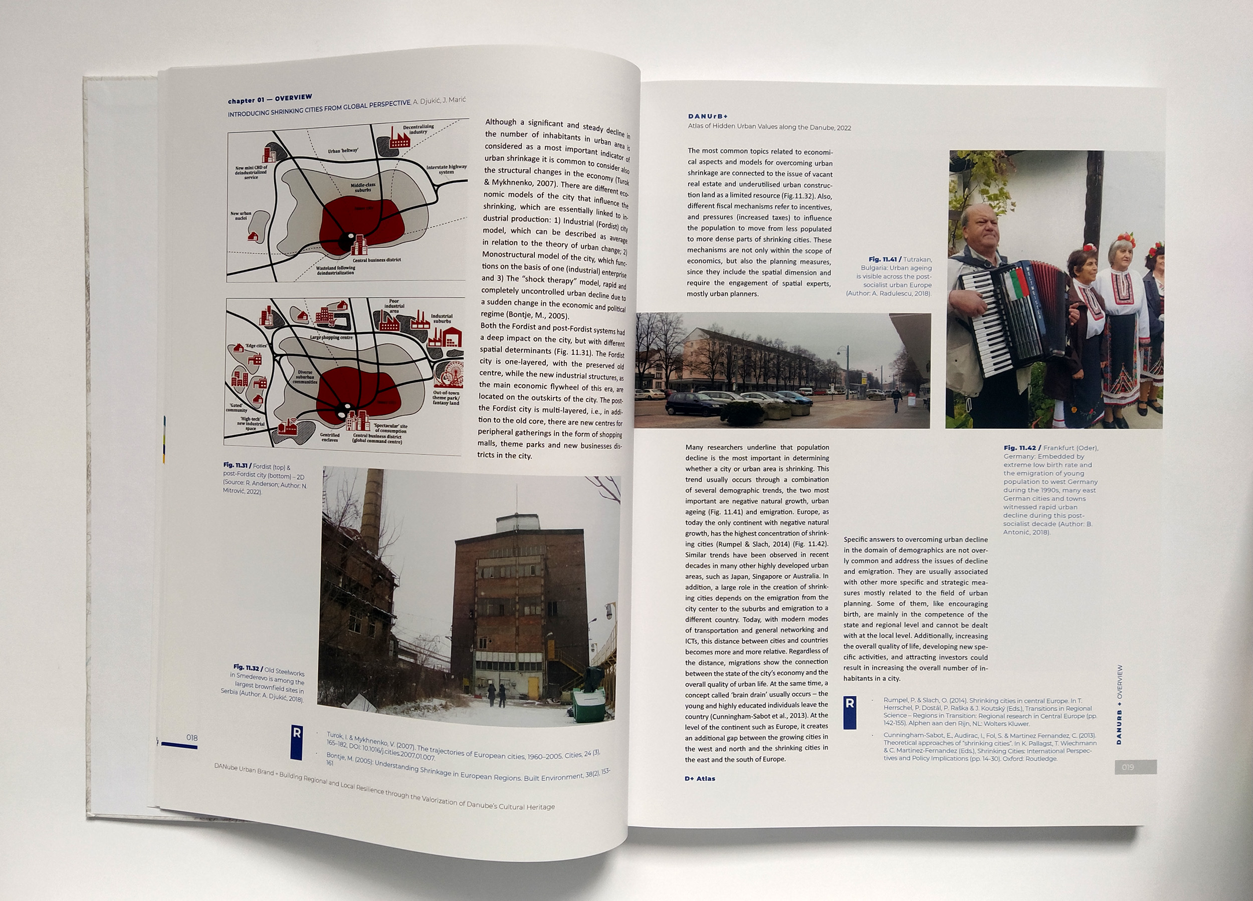
The introductory chapter of the D+ atlas; authors: Prof. Aleksandra Djukić & Asst. Jelena Marić; scheme: Nikola Mitrović, doctorand.
D+ Atlas – the case study of Sombor (left); author: Milorad Obradović, doctorand.
The D+ Atlas represents the joint work of researchers from six partner universities from Slovakia, Hungary, Serbia, Romania, and Bulgaria, where author teams worked on common urban topics in the Danube Region. The other non-university project partners had also contributed in the atlas through providing local stories, photos, statistical data and participating in joint discussions on how to make this atlas more attractive for and close to local people and experts.
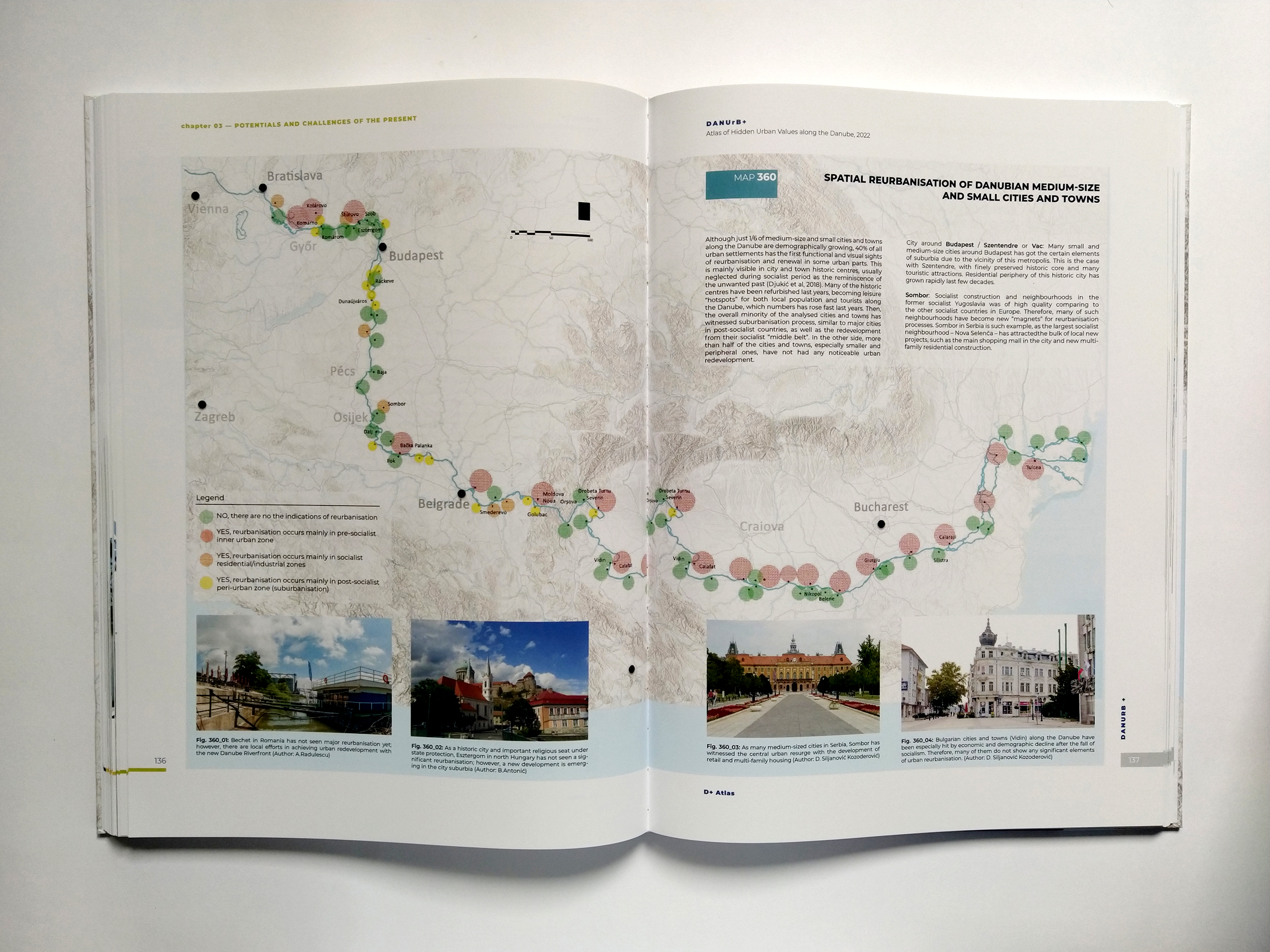
One of the big maps in the D+ Atlas, developed for all Danubian cities and towns. Author: Asst. Aleksandar Grujičić.
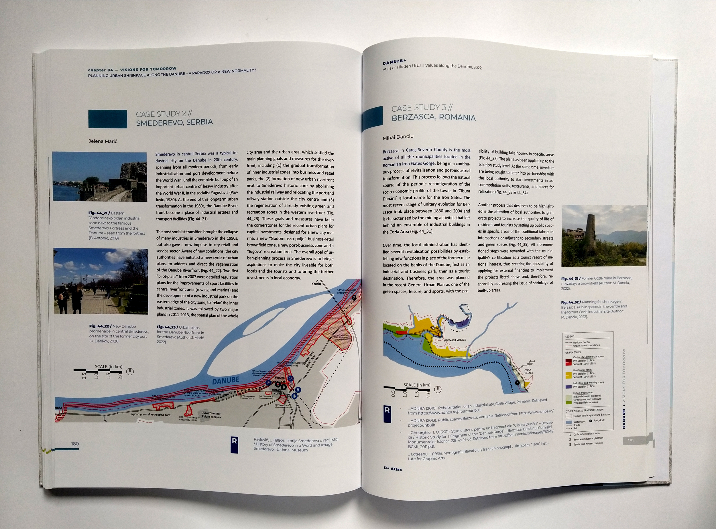
D+ Atlas – the case study of Smederevo (left); author: Asst. Jelena Marić.
The hardcopy version of the D+ Atlas has four main chapters, which are arranged in a chronological order. They begin with the introductory chapter with the basics: objectives, the main topic, scope and content. Then, they pass through 15 multi-author chapters dedicated for the specific topics of the past, present and future of Danubian cities. Between them, so-called the ‘big maps’ of the entire Danube Region are given, with more than 90 cities and towns mapped by their main social, demographic, economic, and communication features. The digital version of the D+ Atlas is bit different, but in line with the newly-embraced possibilities of innovative digital age. The atlas is based on a modern GIS platform, where prospective users can browse the uploaded data through several big atlas topics, organised as navigation menus: demographics, economy, urban development, and case studies.
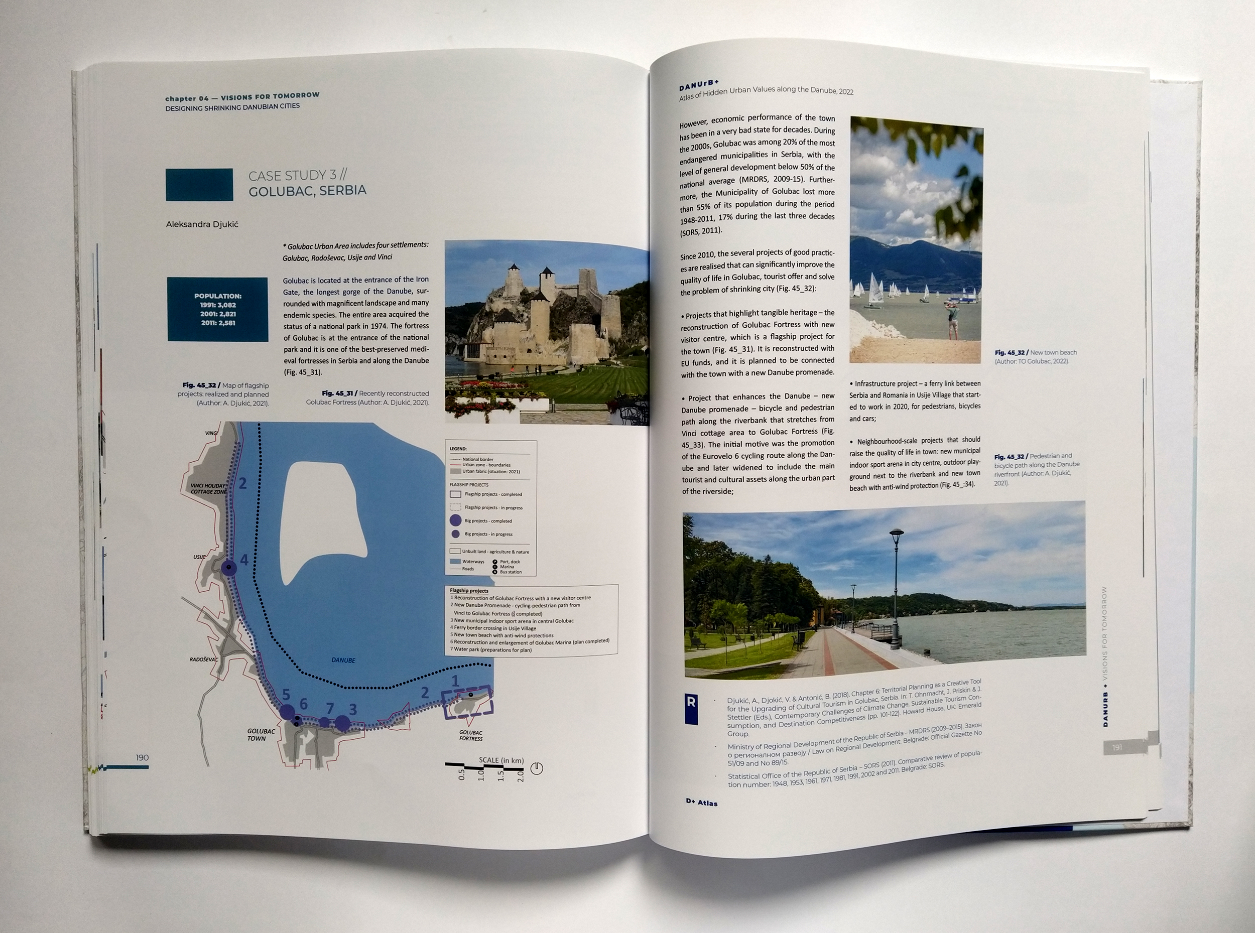
D+ Atlas – the case study of Golubac; author: Prof. Aleksandra Djukić.
Concluding chapter of the D+ Atlas; authors: Prof. Aleksandra Djukić and Asst. Branislav Antonić.
The demo-video clip of the digital D+ Atlas.
Related Articles
-

The ‘Conversations’ panel discussion series
-
The team of Faculty of Architecture in Belgrade at the second meeting of DANUrB+ Project
-
Student exhibition in Golubac within DANUrB+ Project, March 9, 2022
-
Awards and Prizes for the Students, Teaching Staff, and Teaching and Scientific Staff of the University of Belgrade – Faculty of Architecture at the 32nd International Exhibition of Urbanism

